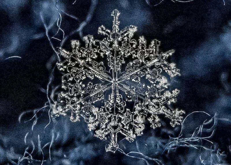
ATLANTA — Parts of north Georgia are likely to see some winter weather this weekend, and those winter weather threats could even extend into parts of metro Atlanta.
We’re tracking the threat of winter weather this weekend on Channel 2 Action News throughout the day and evening.
[DOWNLOAD: Free Severe Weather Team 2 App for alerts wherever you go]
It is still too early to pin down exactly where the rain/snow/mix line will set up and amounts, but we want you to be aware of the possibilities for this weekend.
[INTERACTIVE: StormTracker 2HD Radar]
Severe Weather Team 2 Chief Meteorologist Glenn Burns said that early weather models show a wintry mix for parts of north Georgia late Saturday night into Sunday.
Burns said it’s too early to talk about what parts of north Georgia could see winter weather, but you’ll want to plan your weekend accordingly.
Want to show you a couple models and what type of precipitation they're showing Saturday night into Sunday. One (Euro) is showing wintry mix of snow/freezing rain all the way down into metro Atlanta. (1/2) pic.twitter.com/6UuSMBhr3l
— Brian Monahan, WSB (@BMonahanWSB) January 12, 2022
Another (GFS/American) is a little more conservative on snow/ice, but still shows about half of the area with the potential. Putting these two (and their ensembles -- average of many versions) -- means confidence is fairly high that at least part of our area will have wintry mix. pic.twitter.com/DNaXOcKeiQ
— Brian Monahan, WSB (@BMonahanWSB) January 12, 2022
Now the important part: it is WAY too early for "how much here?, how much there?" and looking at snowfall amounts is still way too far out. There's still uncertainty... but the overall threat of winter weather for at least part of the area is there late Sat/Sun. @wsbtv https://t.co/YpWIryw0Lm
— Brian Monahan, WSB (@BMonahanWSB) January 12, 2022
©2022 Cox Media Group


