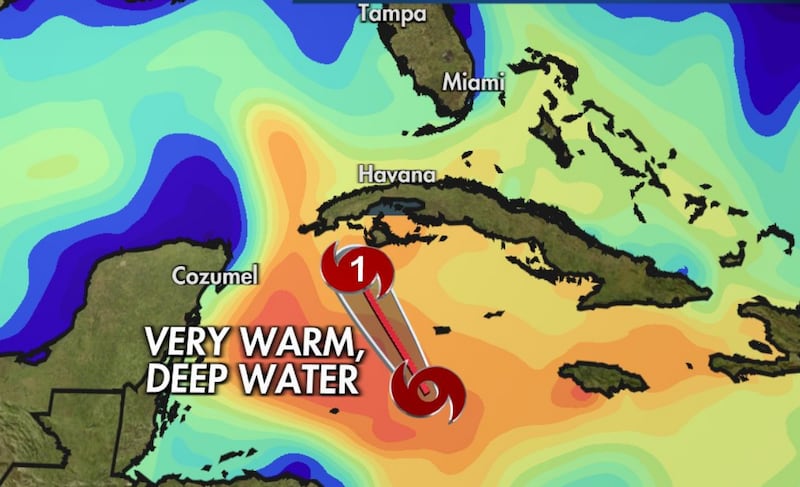
ATLANTA — Hurricane Ian became a Category 2 storm in the Caribbean Monday afternoon, and the storm will continue to strengthen quickly over the next 24 to 48 hours.
The storm is projected to become to a powerful Category 4 storm before approaching Florida.
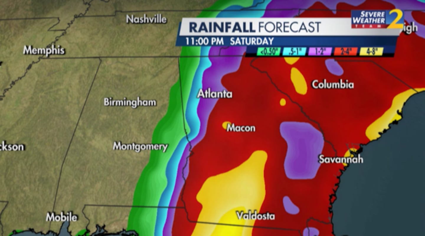
Severe Weather Team 2 Meteorologist Brad Nitz said there is still significant uncertainty when it comes to impacts in Georgia, but parts of western Florida will see significant flooding as the storm pushes water ashore for 36 hours.
[DOWNLOAD: Free Severe Weather Team 2 App for alerts wherever you go]
Nitz says that by the time Ian hits south Georgia, it will likely have weakened to a tropical storm and a tropical depression by Saturday when it reaches middle Georgia.
Potential impacts in Georgia include heavy rain and strong wind gusts from Friday through early Sunday morning.
Two thousand National Guardsmen from Georgia, Tennessee and North Carolina have been activated to help with the response in Georgia.
We’re tracking Hurricane Ian throughout the day, for Channel 2 Action News.
Severe Weather Team 2 is tracking Hurricane Ian throughout the day, on Channel 2 Action News.
[INTERACTIVE: StormTracker 2HD Radar]
Here’s what to expect:
- Hurricane Ian expected to make landfall in Florida mid-week
- Rains and winds likely in north Georgia starting Friday
- Clouds increase starting Wednesday
[UPLOAD PHOTOS: Share your weather photos with us here]
©2022 Cox Media Group


